All designs / Backgrounds / Maps and globes
Nautical chart of New Hebrides islands
Maps and globes The photo fills the whole card. Your callsign and contact details go on a light or dark panel over it, and you can choose which at the design step.
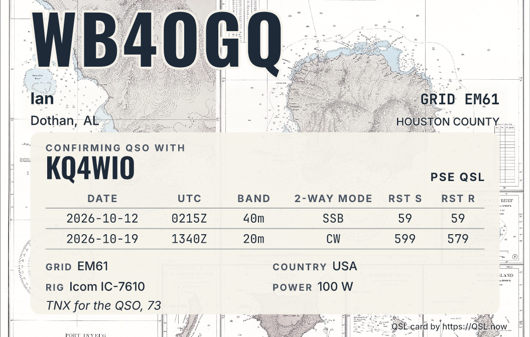
A sample station on the light panel, with the photo lightened 5 percent so the writing stays clear. The design step lets you choose the other panel or change the dimming. The bare photo is below.
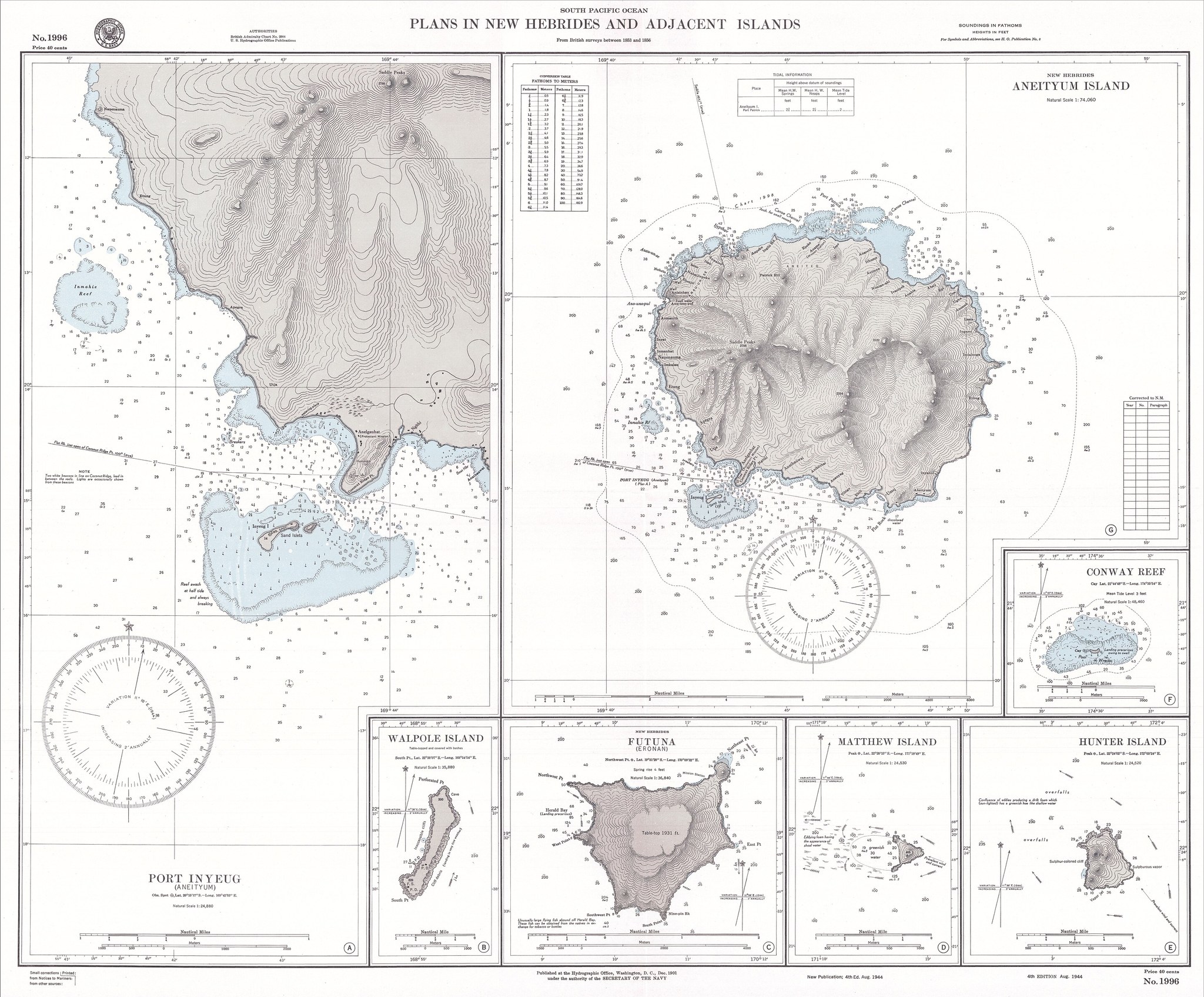
Photo: "Aneityum 1901 Nautical Chart" by Secretary of the Navy, Hydrographic Office, Washington, D. C., Public Domain, via Wikimedia (https://commons.wikimedia.org/wiki/File:Aneityum_1901_Nautical_Chart.jpg). Free to use on your cards.